What exactly is a ría?
A ría is a coastal inlet formed when the sea floods the lower part of a river valley. The river still flows towards the coast, but its former valley now holds a broad arm of seawater, with freshwater entering at the inland end.
The Rías Baixas are the large inlets of southwestern Galicia. Their name is commonly translated as the “Lower Rías”, distinguishing them from the Rías Altas farther north. The principal inlets are Vigo, Pontevedra, Arousa and Muros e Noia.
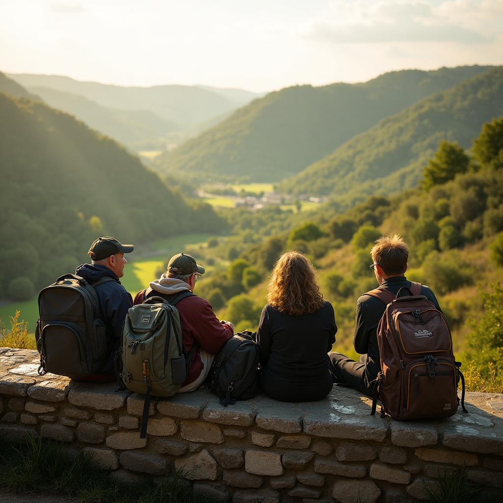
They can look a little like fjords in photographs, but their origins are different. Fjords are valleys carved by glaciers; rías are drowned river valleys. That distinction helps explain the branching shoreline and the broad, sheltered stretches of water you see here.
Why the coastline has so many folds and fingers
The shape began on land. Over long periods, rivers cut valleys through the landscape, following routes influenced by the underlying rocks and geological fractures. Those valleys provided the outline of today’s inlets.
As sea levels rose after the last Ice Age, seawater spread into their lower reaches. Former valley sides became coastal slopes, while higher ground remained as headlands and islands. Waves, tides and river sediment have continued reshaping the edges ever since.
That is why this is not a coast of one continuous beach. Rocky points alternate with sandy coves, wide bays narrow towards river mouths, and the road often curves inland before returning to the sea. You are travelling around a partly submerged landscape.
Why the water—and the scenery—keep changing
Shelter makes a noticeable difference. Outer headlands face Atlantic swell, while the inner rías are generally more protected. Islands near some of the entrances provide additional shelter; the Cíes Islands, at the mouth of the Ría de Vigo, are a striking example.
Inside the inlets, tides expose and cover stretches of sand and mud. Rivers bring sediment towards the sheltered inner reaches, while waves work more forcefully on exposed shores. A quiet waterfront and a wave-battered rocky coast can therefore belong to the same ría.
The water is productive, too. Seasonal coastal upwelling brings cold, nutrient-rich water towards the surface, helping support marine life and the region’s shellfish farming. The floating platforms you may notice in the rías are often bateas, used to grow mussels on suspended ropes.
Around Baiona and Vigo, look for these contrasts rather than expecting a single kind of coastal scenery: working harbours, wooded slopes, open-water views and sheltered beaches all belong to the picture.
Practical ways to read the landscape as you walk
You do not need a geology book to make sense of the coast. A few simple observations will help you recognise what you are looking at.
- Check a map before setting out: the long inlets are easier to understand when you can see their connection to the open Atlantic.
- Notice which way the shore faces. Exposed headlands can be windy even when a nearby waterfront feels calm.
- Look for changing shorelines with the tide, but stay on established paths rather than taking shortcuts across exposed mud or sand.
- Carry a light waterproof and an extra layer; coastal weather can change during a walk.
- Use viewpoints to trace the valley shape, from the broad seaward entrance towards the narrower inland end.
- Treat sheltered water with care: a calm appearance does not guarantee safe swimming.
Enjoying the coast with a car-assisted Camino
Our 10-day private Camino on the Portuguese Coastal Route brings together Porto, Viana do Castelo, Tui, O Porriño, Baiona, Vigo, Padrón and Santiago. It combines coastal scenery with inland stages, rather than following the water throughout.
Private car support drops you off and picks you up so you can walk the best sections and ride the rest. That makes it easier to enjoy the changing landscape without turning every connecting kilometre into a walking obligation.
Your luggage is taken care of every day, daily breakfast is included, and stays are in hand-picked hotels, with 5-star boutique properties in the top tier.
Request a quote from Portugal Magik and tell us how much walking you enjoy and how important coastal scenery is to your trip. We can help you choose a pace that leaves room to stop, look across a ría and understand the landscape in front of you.
Pick your walking pace
You don't need to be a hiker. Choose how much you'd like to walk each day.
Light
2–3 km a day
Short, gentle walks on the easiest stretches. The rest of the day is by private car, with sightseeing and full assistance.
Best for: Older travellers and anyone with walking limitations
Request this paceMedium
5–7 km a day
A relaxed walk of an hour or two on beautiful sections, then your driver takes you on. Nothing strenuous.
Best for: Average walkers with no walking issues
Request this paceIntense
12–15 km a day
Typically whole mornings or longer on the trail, with luggage handled and the car waiting at the end of the stage.
Best for: Regular walkers and hikers — advanced level
Request this paceDistances are approximate. Your car is private, so you can change pace day by day — and each person in your group can walk a different distance.
Walk the Camino with Portugal Magik
10 days on the Portuguese Coastal Route with private car assistance, luggage transfer and handpicked hotels.